
2014- Circumnavigating Vancouver Island
An impromptu Circumnavigation
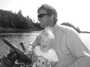
It was Aug 2 and we were sailing from Miles Inlet to Fury Cove on Penmore Island. Our 10 month old daughter Fynn was smiling and the sun was shining. ‘Let’s circumnavigate Vancouver Island’ I suggested. We had discussed this idea previously but weren’t sure we were up for the challenge. We have been cruising non stop since June and it had been quite the learning curve, the biggest being for Kolby to become a proficient single hander so that I could take care of Fynn. However we had gotten into a good groove and the trip from Campbell River to Miles Inlet had been, well, smooth sailing.

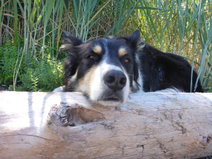
Smooth sailing with a great little sailor
The west coast of Vancouver Island can be daunting. With it’s rocky shoreline and constant swell, careful navigating is crucial. This is, after all, open ocean. We anchored in Fury Cove and sent a few short emails to family informing them of our change in plans. Then we made one more jaunt north to Hakai Beach Institute on Calvert Island where we spent a day of ‘rest’ hiking the trails from 1st beach to 7th beach.
Hiking the beaches at Hakia
This is why we came
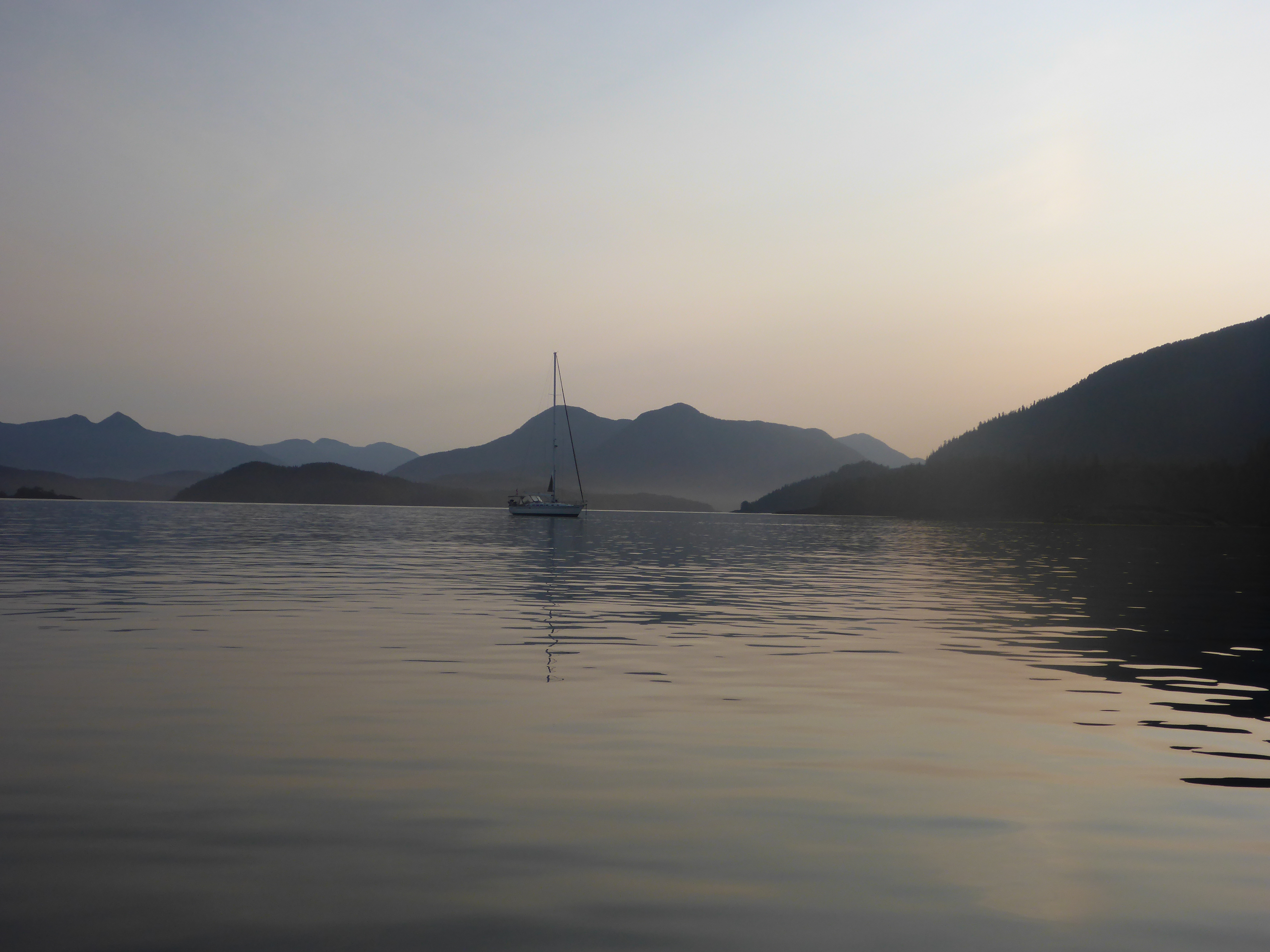
The following morning we left early to do the 80nm to the northern most anchorage on the west side, Sea Otter Cove. We motored out into a glassy ocean and waited for the wind to fill. Sailing downwind on a poled out genoa, we rode smoothly over the swells. Still, it was completely different then sailing the Inside Passage. I spent most of the time below decks with Fynn, playing in the bed and chasing her around as she learnt to stay balanced when the boat lurched beneath her. By leaving from Hakia, we skirted Cape Caution and completed the journey in 10 hours. Shortly before arriving at Sea Otter Cove, we were greeted by a friendly namesake who curiously invested our sailing ship. Sea Otter Cove is a mud bottom bay scattered with boat-grounding boulders. We anchored 200’ off of the remaining bouys in 20 feet of water.
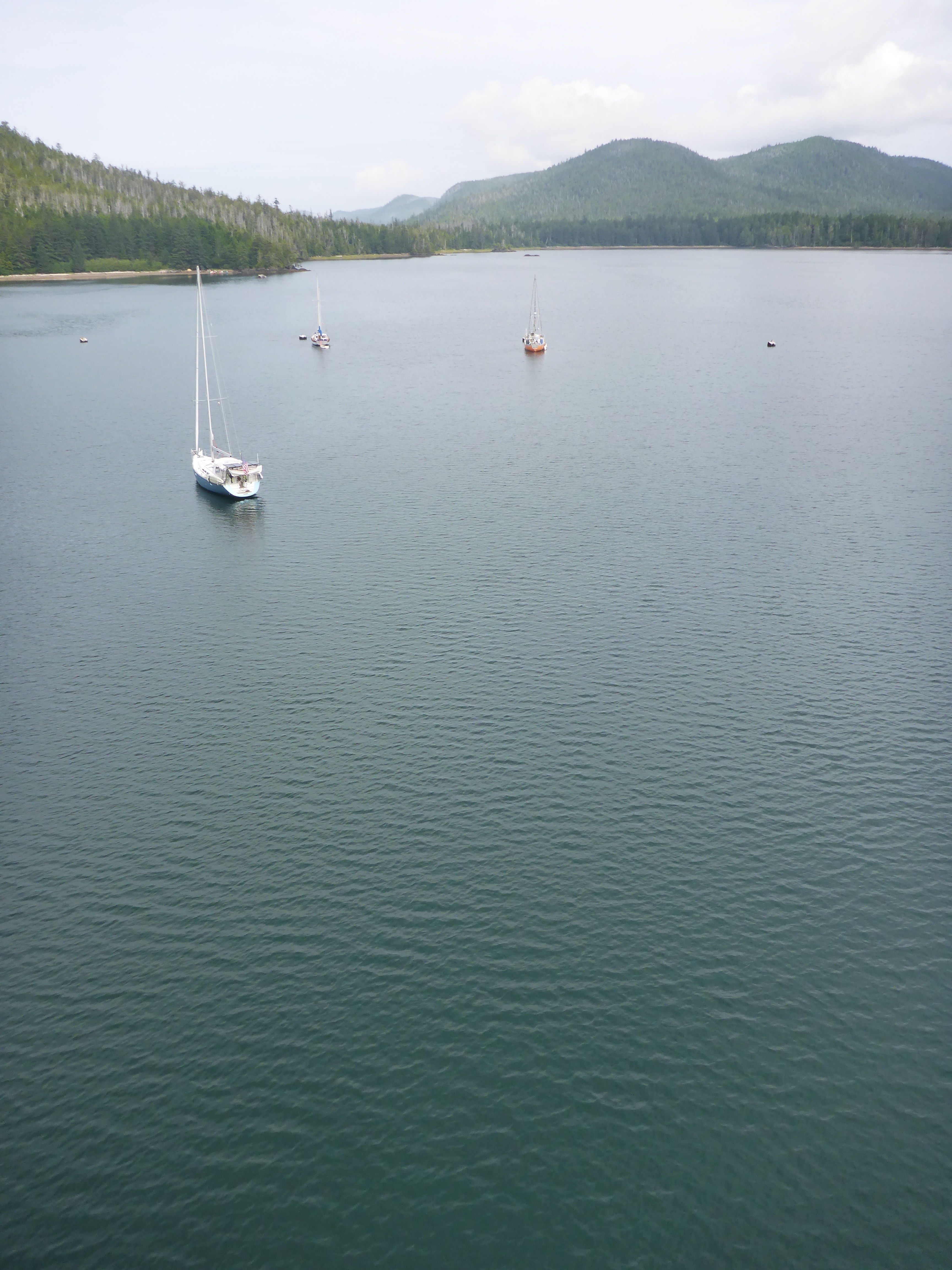
Looks big – but not many places to anchor!
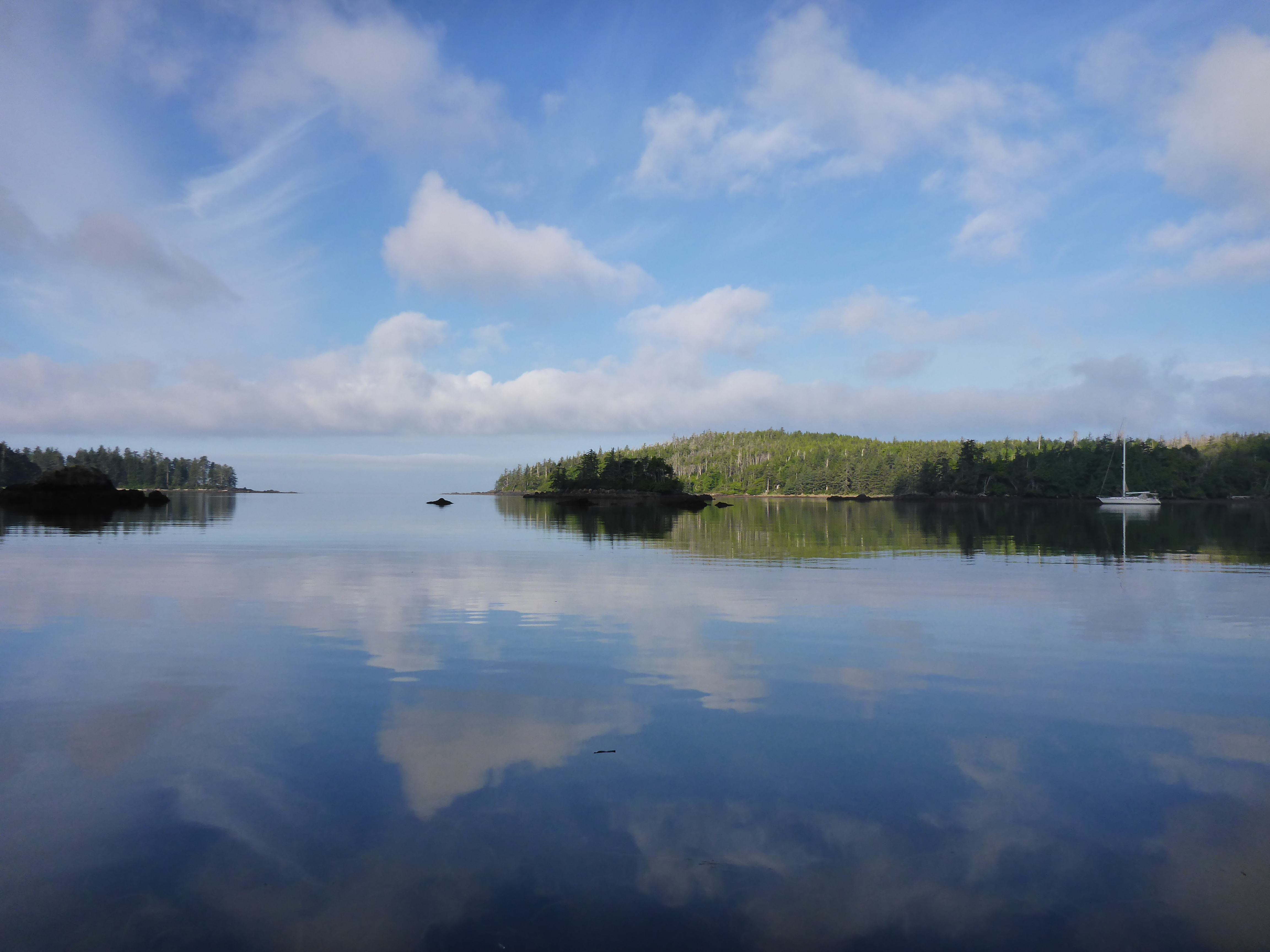
Perfect reflections
Winter Harbour is the first port with fuel on the west coast, so this was our intended destination as we were down to our last 20 litres. Winter Harbour is a relic of BC’s coastal fishing days, when the waters ran thick with salmon. Now little remains save for the old ice making building and the original boardwalk system, linking the rustic cabins together. Winter Harbour has road access and now supports itself as a fishing harbour for pleasure craft. Filling our tanks with diesel and clear water we motored towards Klakish Basin through glassy swells. Klakish Basin itself is spectacular. It’s narrow entrance is bordered with bluffs and cedar trees that skim the waters surface, heavy with lichen. The land here is mountainous and rugged, the undergrowth so thick it is impossible to go to shore. Without another soul in sight, we were along among the stars.
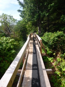
The boardwalk at Winter Harbour
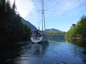
Entering the basin
Rounding Brooks Peninsula was, perhaps, the most spectacular part of the trip. Still without wind we motored past the Solomon Islands, which gave in the impression that you were driving past Jurassic Park. And it is no illusion, Brooks Penisula is a completely different ecosystem, as it was one of the few areas that was not covered during the last ice age. We watched in awe as hundreds of sea birds soared, circling around the black cliffs that shot up from the sea. Puffins darted among the waves which crashed menacingly against the jagged rocks. All too soon we were past this unique place and, with the white genoa gleaming against the blue sky, we sailed effortless across Checleset Bay and into the Bunsby Islands.

Approaching the Solomon Islands
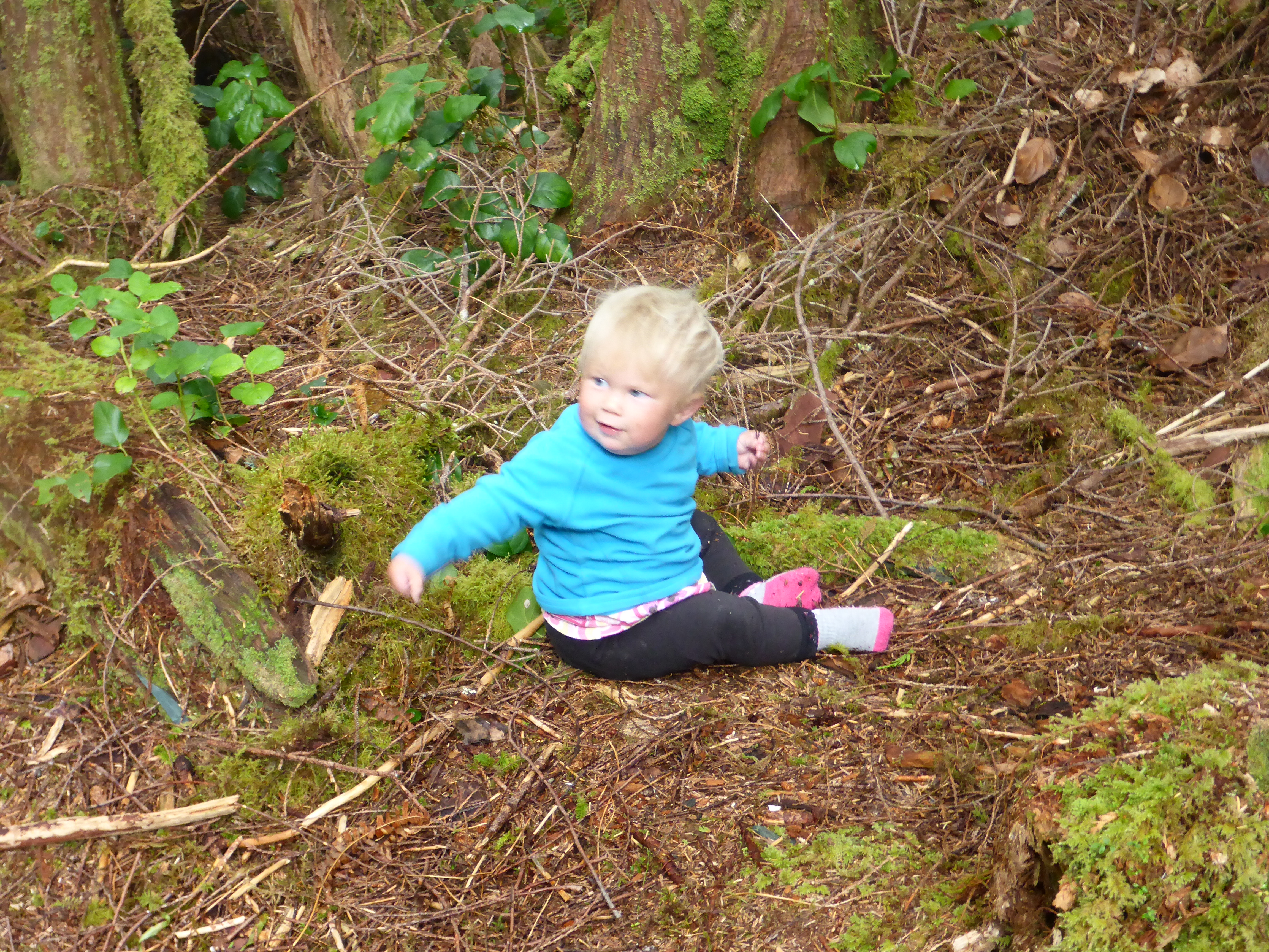
The Bunsby Islands, named after a Charles Dickens charactor, were also the site of the Sea Otter reintroduction project. BC Sea Otters had been hunted to extinction by the 1900s as women around the world desired their luxurious coats as fashionable items. In 1967 small populations of Alaskan Sea Otters were reintroduced to the area and ever so slowly they have been expanding their number and range. The Bunsby Island themselves offer endless possibilities for exploration by dinghy or kayak. We took Otto towards the outer ring of islands and were we tucked in safely on the protected shore and explored the tide pools and pocket beaches. Fynn splashed about happily in a giant pool that was warm as bathwater. At ten months old, Fynn has come into awareness among B.C. sea life. Upon seeing a beach, she eagerly flings herself towards it, ready to explore, digging up sand, seaweed and other beach bits. She has learned to stand on driftwood and walk along the forest floor. She is happier playing with pinecones and sticks than in a room full of toys. Could a girl ask for anything better?
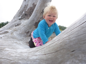

Growing up with nature

Fun in Otto

Balance beam
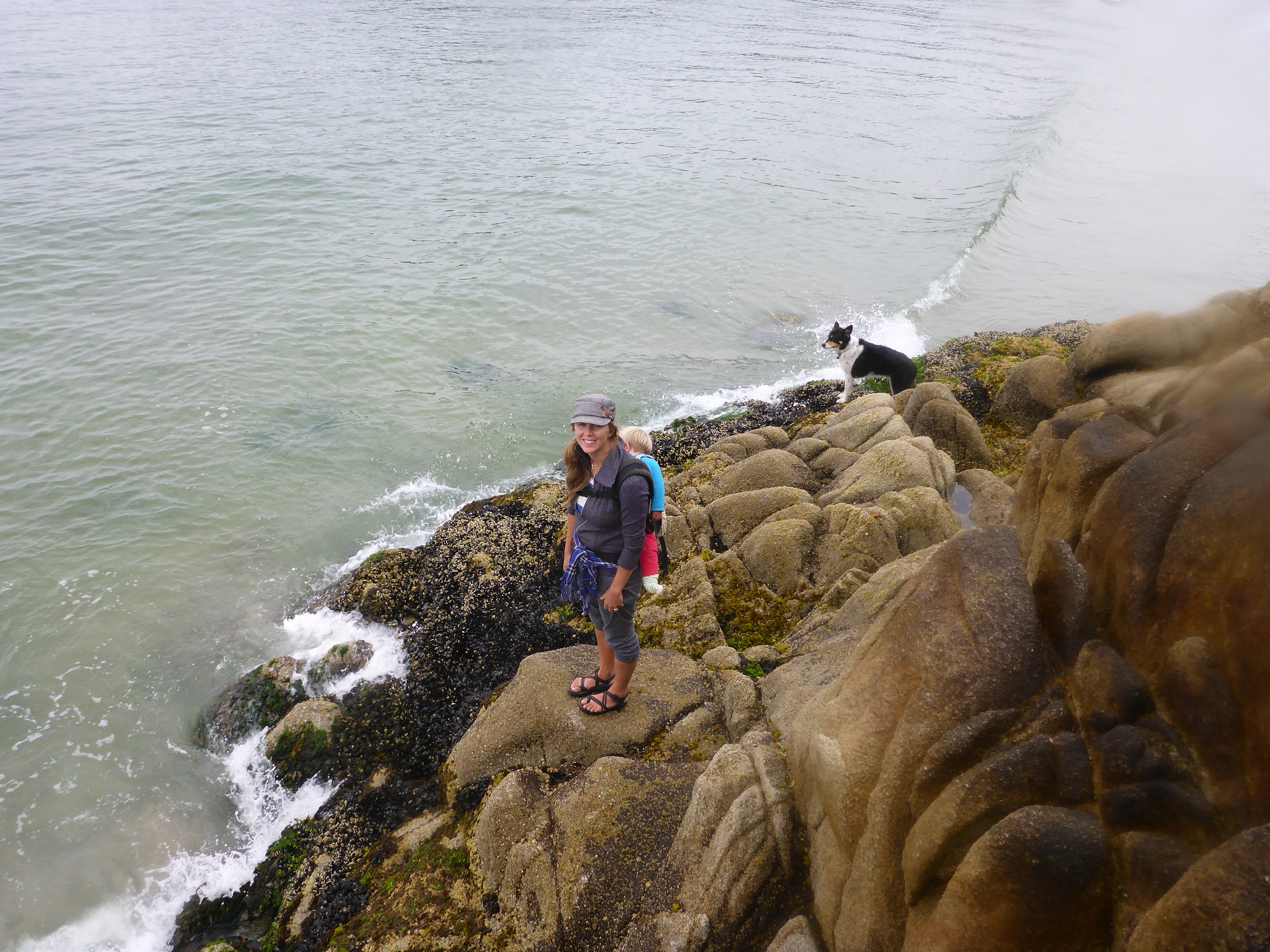
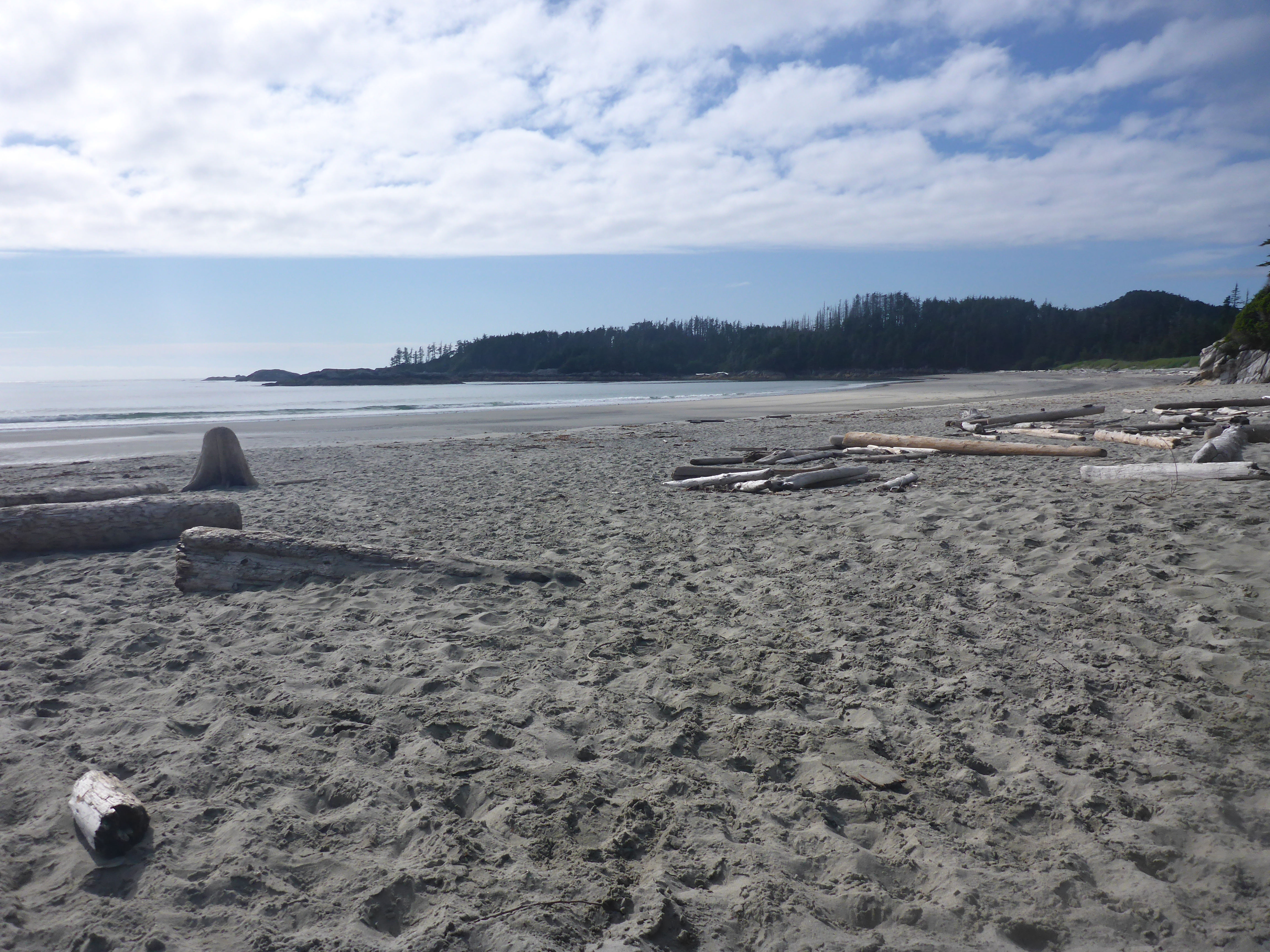
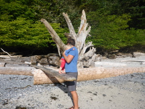
The West Coast is known for its beaches, and Rugged Point Marine Park does not disappoint. Only 18 nm south from the Bunsby’s, the anchorage is good holding in sand, but exposed to some swell. This made for an adventure landing Otto and unloading Kyber and Fynn safely, but the fine sand beach was well worth the effort. A short hike across the point and the trail empties onto a second beach exposed to the open ocean. The wide open beauty of the coast never disappoints.
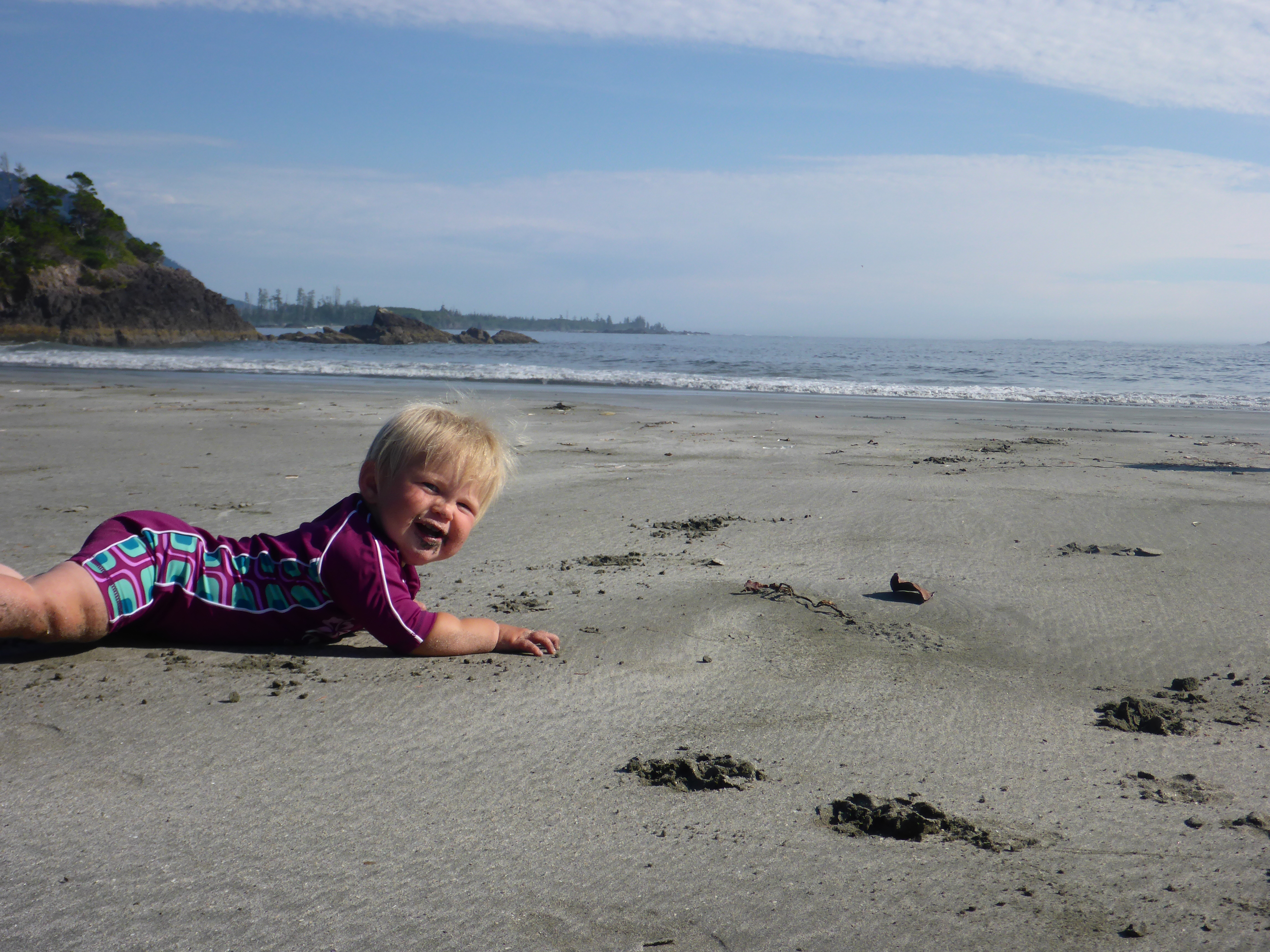
West Coast beach babe
Open anchorage at Rugged Point
5 nm from here is Cachalot Inlet, the site of a sperm whale processing site in the late 1800s. This site processed thousands of sperm whales before it was shut down in the early 1900s. Little remains at the site now save for a few pilings, worn bricks and some machinery in the woods. A ferro cement statue of a sperm whale was placed at the site in the ’70s as a tribute to the destruction of this magnificent species. Despite careful searching we found only a few small pieces of century old whale bones. Clouds was starting to pile up across the sky and we headed back to Asunto as the wind whipped up waves. A lone humpback shot a blast of mist into the air before diving deep with a flick of it’s tail fluke. The whale seemed a fitting tribute to it’s fallen comrades who’s bone lay at the bottom of Cachalot Inlet.
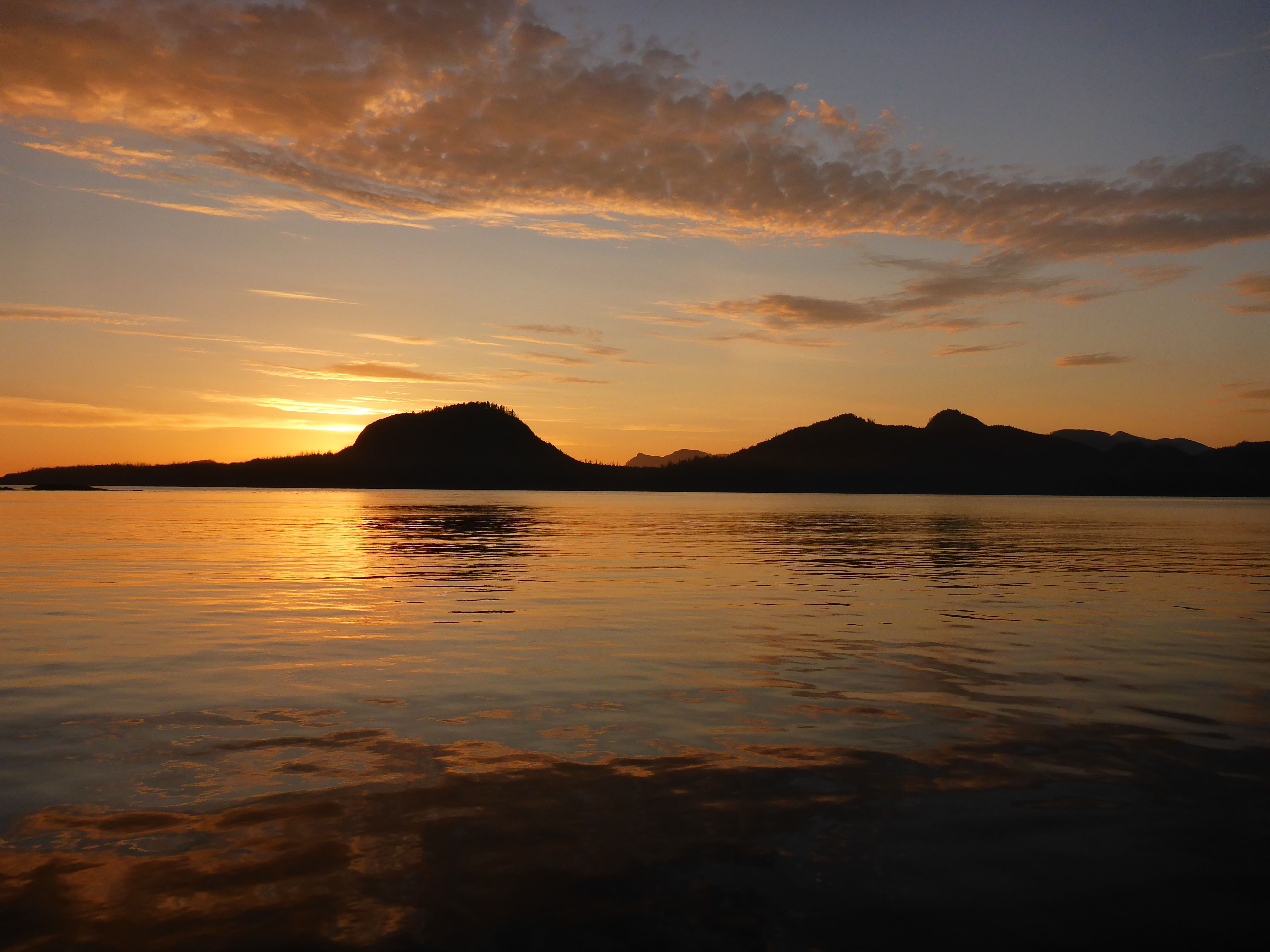
Sunset on the West Coast
The glorious blue skies had been accosted by clouds, and evidence of the infamous fog bank was encroaching. The pull of Hot Springs Cove was getting stronger as the temperature dropped. However the luxury of the Hot Springs was not to be easily won. A strong southerly wind had picked up and we found ourselves beating into 30 knots of apparent wind. Asunto hurled herself into the wind and healed hard over, toe rail in the water. Kyber hunkered down into his bed, wedged between the table and bench in the cockpit. Fynn, however, was delighted with this change in her home as previously unreachable areas were suddenly easily climbed. Tacking back and forth we made only 5 nm headway in 3 hours. Just as we thought we would never make it, the wind abated and finally stopped altogether, forcing us to motor the remaining distance along the rocky shore of Nootka Island. Tucking into the anchorage as Hot Spring Cove a 6 pm, the sun was shining and despite our exhaustion we put Fynn into her pyjamas then into her carrier and headed off to the springs where Kolby treated me to a soak as he explored the cove with Fynn sleeping in the carrier. As we walked back along the board walk, busy looking down as the boat names and artwork, we were treated to a glorious sunset through the branches. If we had have known it would have been our last sunset for days, we may have looked up a little longer.
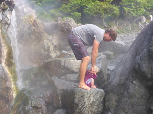
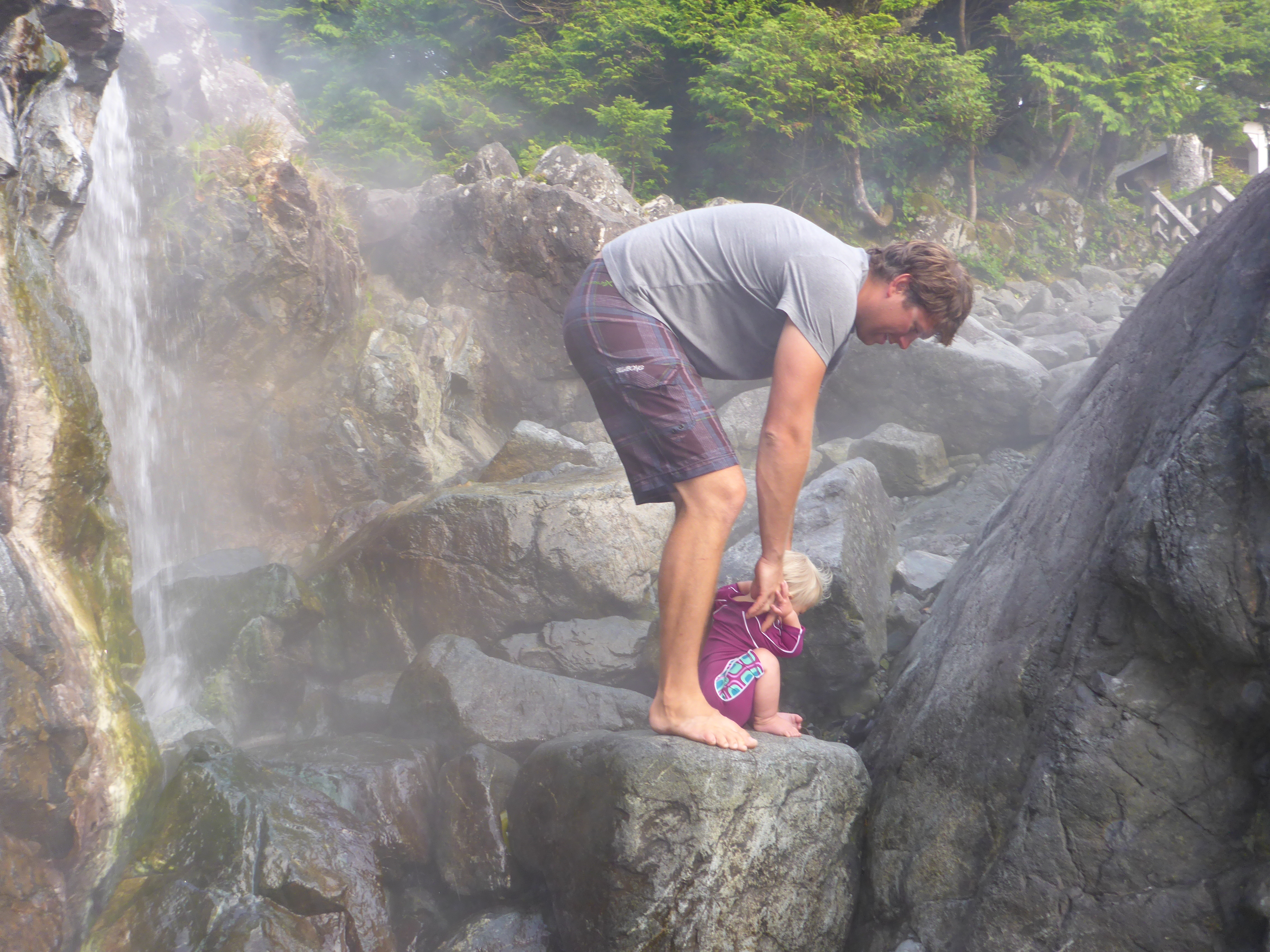
Going for a swim at Hot Springs Cove
The fog rolled in that night and didn’t roll out until we reached Victoria. When we awoke the fog was so thick the dock had simply vanished only 500 meters away. The fog lifted around 10am, and the tourist started pouring into the park via float plane and high speed boats, all here to pile on top of each other into the Hot Springs. We made the trek up to the Springs simply to look in awe at the 100 people crowding in and around the little pool. It is certainly worth staying here after hours to experience the peace and quiet of the place. But no time to dally now, our days are numbered and it is time to head on.
Hold on, didn’t I just say no time to dally? But then why are we anchoring here, in the middle of nowhere? Because, the Wagooneer guide mentioned a 70’ waterfall plunging into a hidden ocean pool and that sounds too good to pass up. Despite the location being incredibly vague, Kolby located a creek that emptied into the channel and determined that it was most likely to be Shark Creek. So we piled into Otto and started motoring towards the mouth, over the shallows, around the corner and VOILA! A small, deep pool, enclosed by steep rock walls and fallen trees, dripping with spray misting off the falls. Although they are not quite 70 feet (we would put them more around 40’) they are still breathtaking. The falls plummet into a pool, seven feet above sea level and completely enclosed by stone, which overfills into the sea. After we had our fill we headed back to explore the shore, which was clearly a favoured site by kayakers. It was empty for now, however, and we enjoyed the cedars in peace and fog. Some of the cedar trees had been culturally altered, evidence of many years of bark harvest by the First Nation people of the area.
We are now getting very low on food, and one cabbage head is all that remains of my fresh produce. Time to restock and re enter society in Tofino. Tofino is the bustling, touristy surf town that it declares itself to be. Full of shops and restaurants, it is a lively place dominated by hippie surfers and European tourists. We celebrated our 6th wedding anniversary in a little sushi bar, stocked up on produce at the Co-op grocery store (including purchasing a whole watermelon -a heavy choice when you have to carry the groceries 20 minutes back to the boat!) and explored the town. Although we finally had cell coverage for the first time since leaving Port Hardy, we didn’t have an internet connection so we made use of the cafe’s wifi to catch up with the world. We awoke to fog thicker than we had seen yet, so thick we were not confident we could navigate out of the sandbars that surround Tofino. When the fog ‘lifted’ and visibly improved to about 1nm, we headed off towards the Broken Island. Kolby was slightly on edge as we navigated the shoals catiously, with dozens of eco-tourist boats buzzing around like flies.
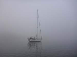
Fogged in at Tofino
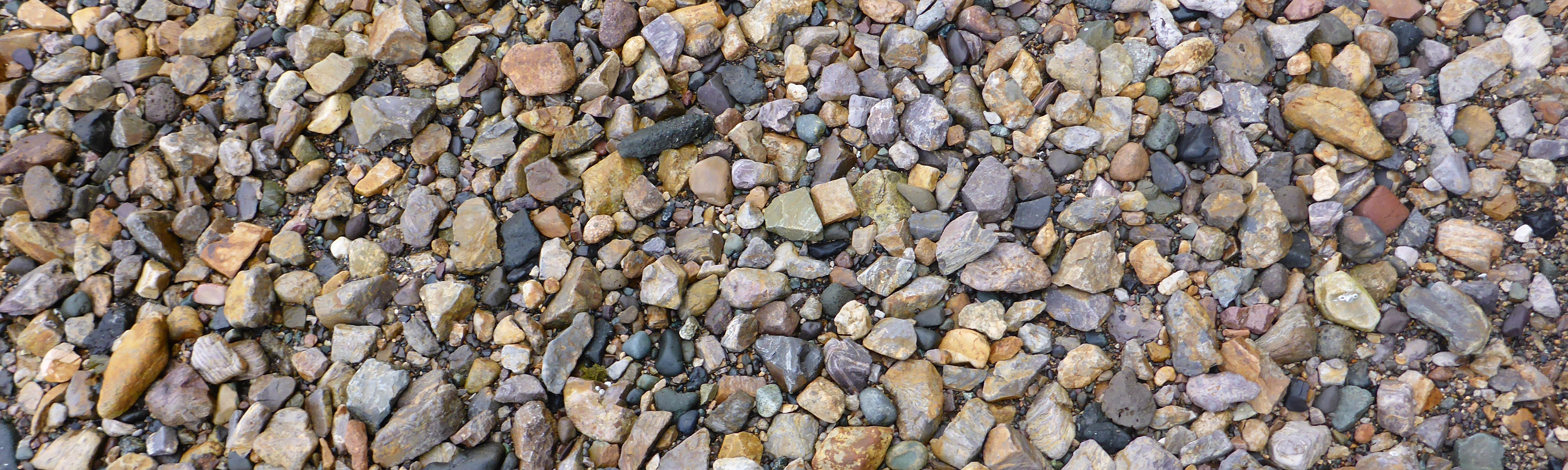
We spent only one night in the Broken Group on Benson Island, which according to Tseshaht legend, is the birthplace of their people. While exploring the island the fog dissipated and sunshine – glorious sunshine- was felt on our smiling faces. Benson Island has a totem erected to acknowledge it’s history and importance and camping is not longer permitted on the island. Despite the craggy, foreboding rocks that almost surround the bay, the anchorage was simple to enter and sheltered from the swell. Fynn explored the pebble beach and small tide pools in the rocks while we basked in the sun and pointed out what we could now see.
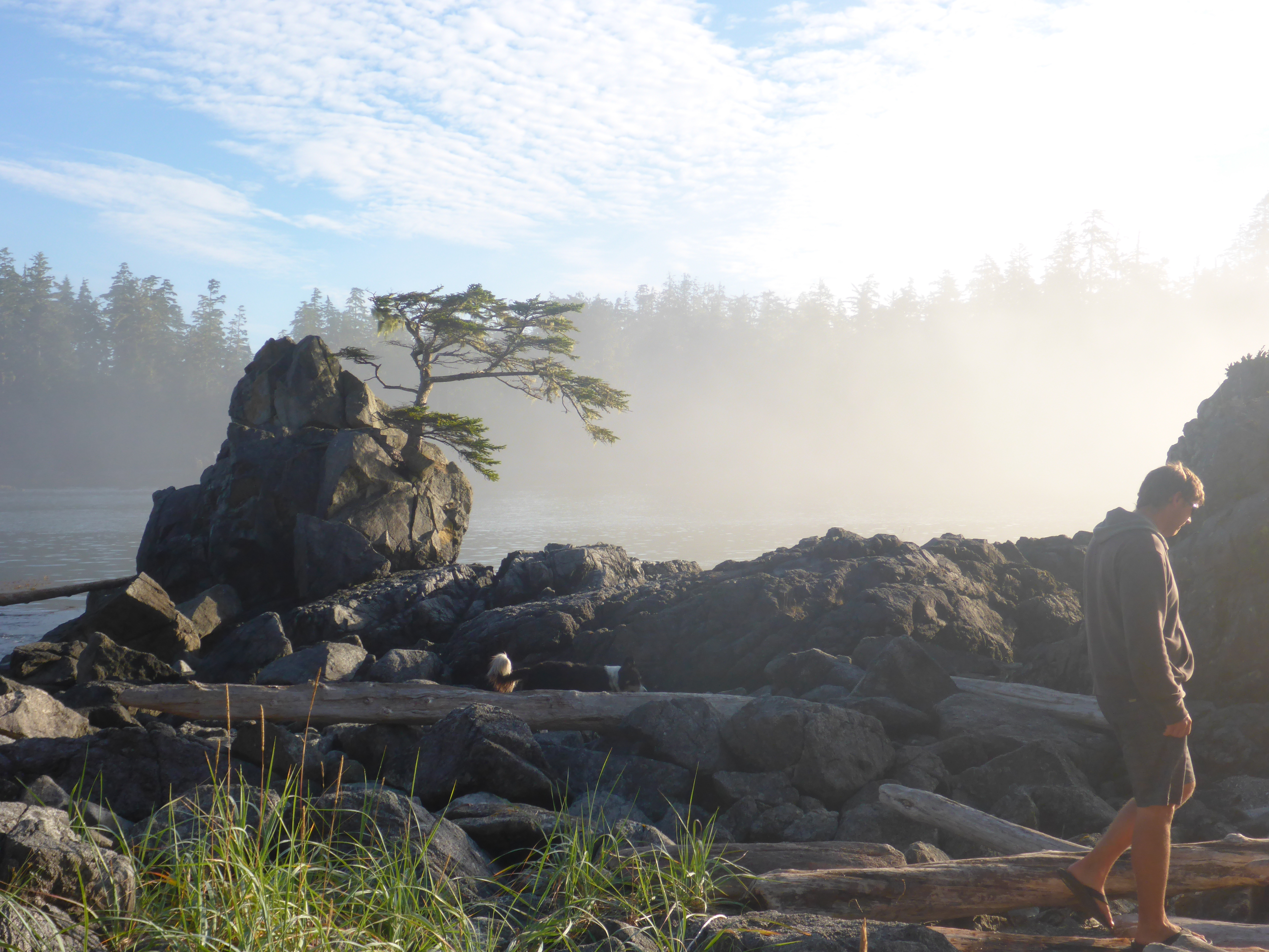
Fog rolling out of Benson Island
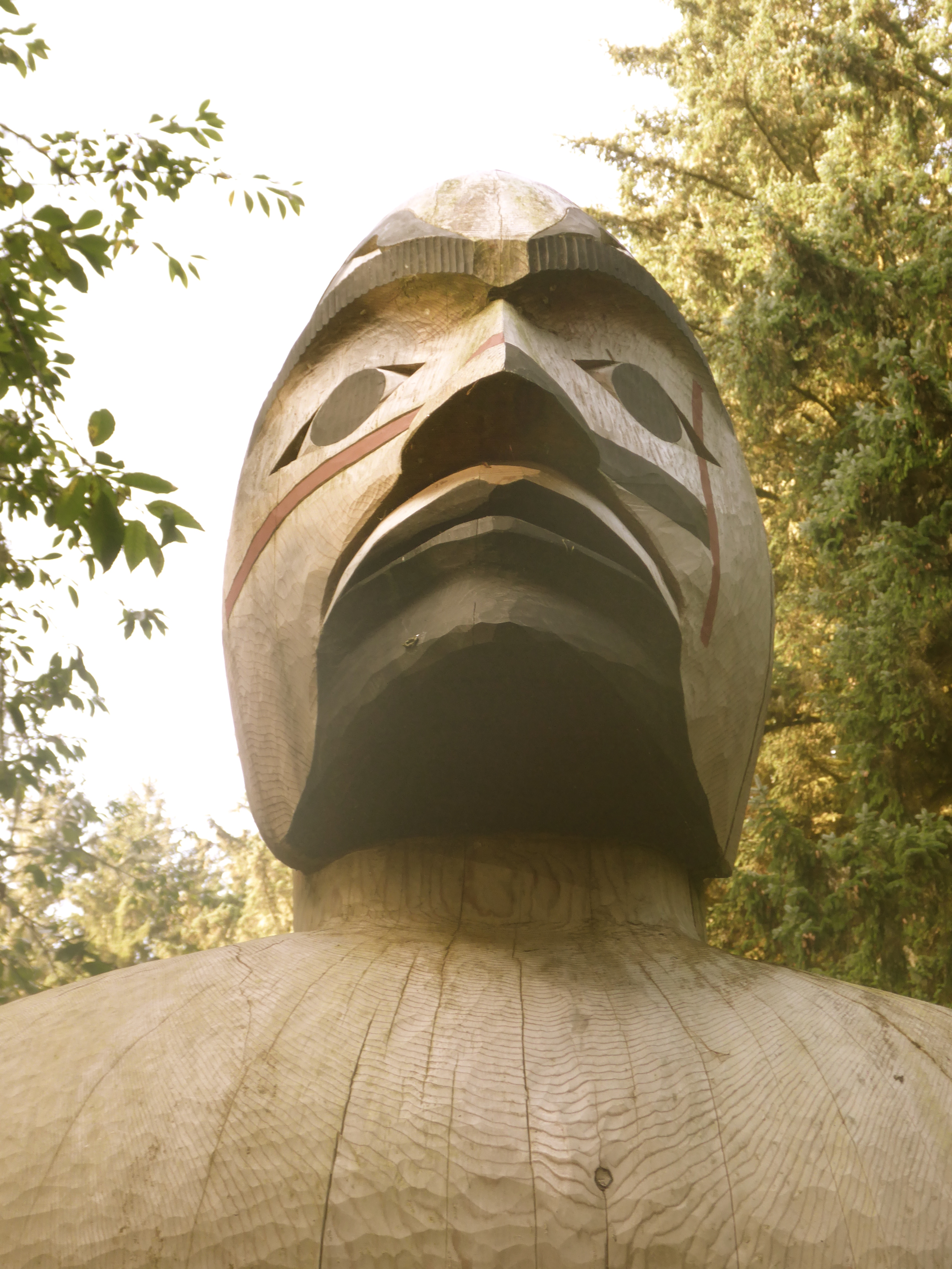
Gaurdian
Time to go! We have one more gem to discover before we start our trek towards Victoria. Again, the Wagooner Guide mentions Lucky Creek, and describes it as having a magical feeling and can only be visited at high tide. So despite the Stopper Islands being in the wrong direction, we head off that way under sail in a light breeze. What a beautiful place this is when you can see it! Mountains plunging into the sea, sparkling kelp beds and more nooks and crannies than could ever be explored. After anchoring in the Stopper Islands, we decide to make the most of the sunshine and high tide and head off to find our very own piece of magic, despite it being 5pm. After a journey up the creek, which was long enough to make us wonder if we were in the correct place, the creek abruptly ends at a 15 foot waterfall, thundering down. There isn’t much of a place to tie up, so we drop the anchor close to shore, and hope for the best. Scampering up the slippery rocks, we come to the first pool. Deep and clear and looks lovely for swimming, but glimpses of even more pools lie ahead and beckon us forward. This first pool acts as gatekeeper though, as the only way past it is through it. We quickly change into our swim suits and ferry Fynn across the chilly water. Following the streams and small pools, we find a second large pool with a stone beach, perfect for Fynn. We enjoy the fresh, clean water and soak off the grime of travelling. As I navigate the slippery rocks, trying to find the perfect place to dive in, I suddenly loose my footing and crash into the water. Luckily I escaped with only a scrape to my side and a huge bruise to my thigh. This falls served to remind us of just how easily a serious injury can occur and how difficult it would be to get help. A broken leg would have been a nightmare.
Back home on Asunto we awake to following morning to thick fog, bringing a chill to the summer air. Good thing we went exploring last night! We make our way to Bamfield, our intended destination. However, after adding some diesel to our tanks we find the place crowded and decrepit. So off we go, making a late anchor in Saun Juan Bay, where we watch the hikers set up their camp for their final night on the West Coast Trail.The next morning we had a magically encounter with a pod of orcas, our first all summer, which made for the perfect ending to our impromptu navigation.
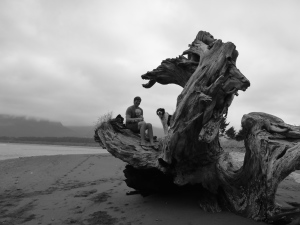

Huge logs in Saun Juan Bay
Recent Comments